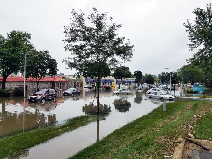
ClimateTech FloodMapp is teaming up with navigation app Waze, to integrate its forecast flooding technology to help drivers avoid flooded roads in real time.
FloodMapp’s innovative solution allows Waze to offer drivers real-time, street-level alerts of flooded roads. FloodMapp is piloting the program in Norfolk, Virginia, where Waze users will be the first to test the new feature.
FloodMapp’s forecast technology mixes tidal, riverine and rainfall data to create a rapid, real-time flood inundation model. The information is automatically layered with Norfolk’s citywide road network in a geographic information system and sent to Waze in real-time.
Drivers using Waze will receive pop-up icons and audio alerts to warn them about flooded streets along their route and help them avoid property and life-threatening hazards. Additionally, drivers can confirm flooding in the app, helping to make future alerts more accurate. The information will also be used for an automatic rerouting feature, which is currently under development.
As the winner of the RISE Urban Mobility Resilience Challenge, FloodMapp received funding, business mentorship and access to the Hampton Roads, Virginia, to develop and validate its novel solution. RISE, a Norfolk-based nonprofit funded through the Virginia Department of Housing and Community Development, aims to accelerate innovation and business growth in coastal communities.
Juliette Murphy, FloodMapp CEO and co-founder, said, “We started FloodMapp because we have seen first-hand the devastation flooding causes and we wanted to be part of a solution that helps people around the world.”
Copyright © 2022 FinTech Global


